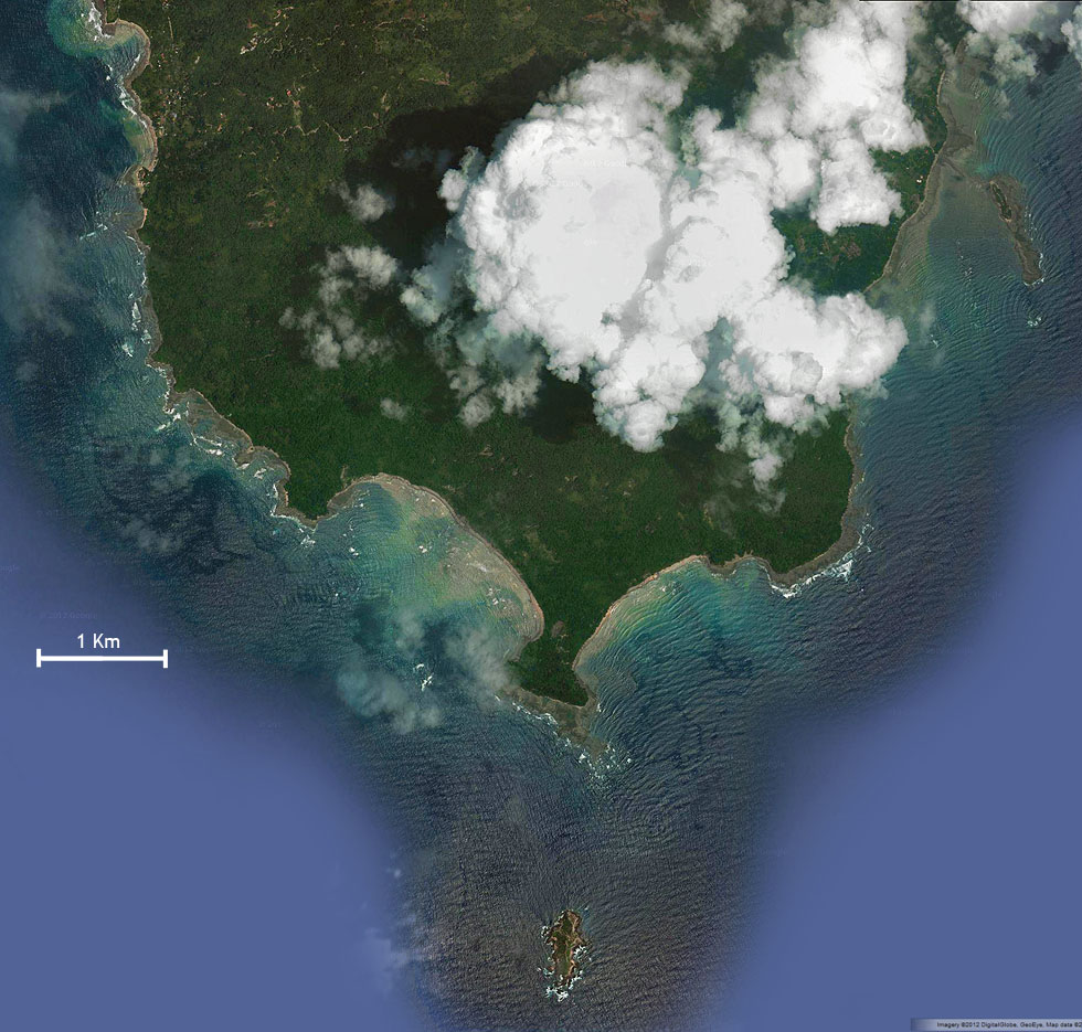
Here’s a map of the Cabo Blanco Absolute Reserve, as seen from space.
I made this map using Photoshop and a dozen or so images from Google Maps. Unfortunately Google’s map has all kinds of mistakes in this area, including roads that haven’t existed for more than 50 years! So I removed them so you can see a more pure map. These are recent images (2012) clearly showing Cabo Blanco covered in lush jungle. Around 50 years ago, 85% of Cabo Blanco was cattle fields, and it has grown back, both by natural methods (seeds dropped by birds, bats, etc) and by planting by conservation groups.
Thanks to Google Maps, Digital Globe, and Geo Eye for use of their images.
 Cabo Blanco Satellite Photo thanks to Google Maps